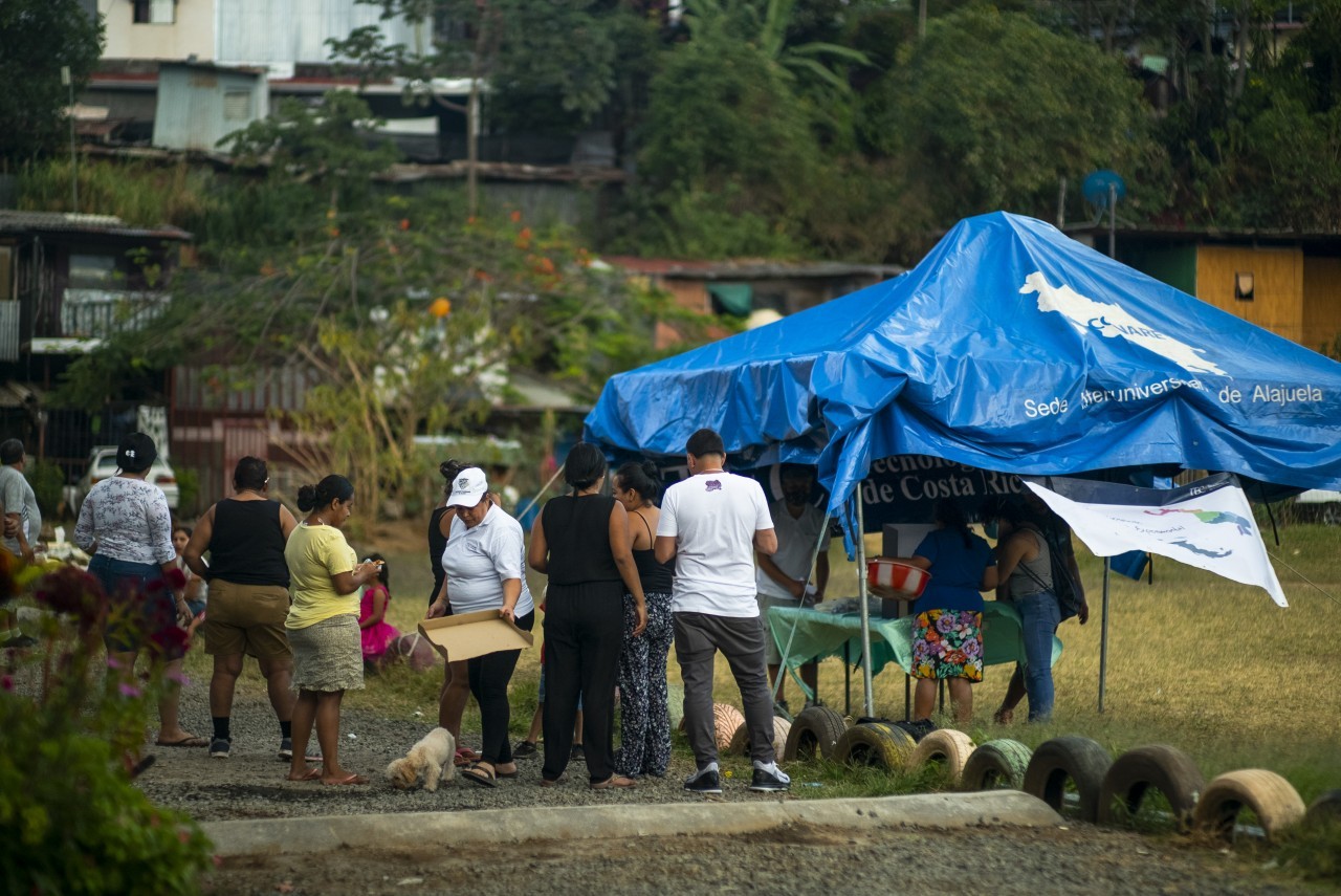
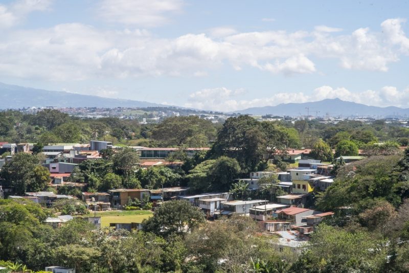
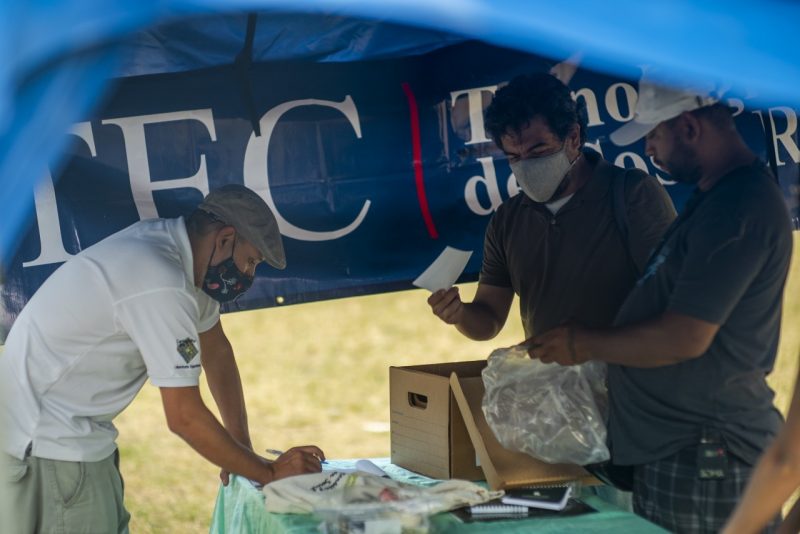
Jose is a leader in a small community called el Erizo Juan Santamaria, located in San Jose, Costa Rica, near to the airport. Due to the lack of registration in official databases and institutional maps, the community has lacked lot of essential services. Only in 2019, a team or researchers of the technology department of Costa Rica University teamed with the residents of the community and mapped streets and locations in an autonomous way. However the institution, later, recognized such mapping. A conversation with José helped us understand what happened in that “invisible” community.
Jose, could you tell us how the Erizo Juan Santamaria was created and what is happening there right now?
It is approximately 39 years old, but there are still families arriving. The place was originally a coffee farm estate. Today we are trying to keep going through our own means, since the local government nor other institutions didn’t give us any help.
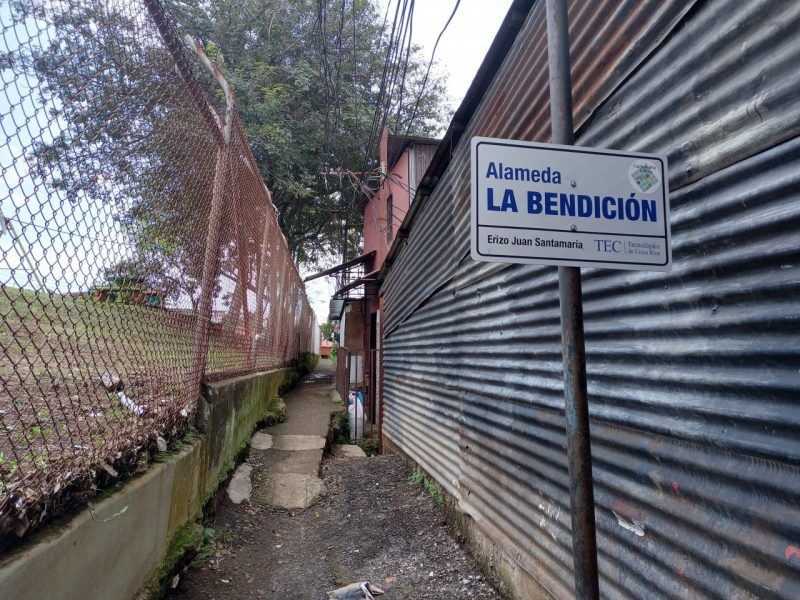
Why did you need to rename the streets? And what does that mean for the community?
According to google, in this area there were no houses or they were registered as empty houses with no residents. Today, thanks to the help of the University of Costa Rica we can ask for some services such as electricity, cables network or Uber.
How big is your community and how many streets were named and what processes were used in order to decide names?
In our community there are around 1650 people living in there. At the moment, 90% of the place is mapped. The names of the streets were elected by the community itself, during a proper election which was lead by scholar Jaime Gutiérrez.
What were your expectations from the mapping of your places and streets? What happened after the mapping process, to your community?
At the moment we are quite happy because we are still visible to other communities, even if we are marginalized.
Which are missing services and what are the former “invisible” places that were recognized by the authorities?
Our community undergo a series of limitations, since we cannot rely on no institution. We only rely on ourselves. Recognized mapped areas were Calle La Cuesta , Alameda La Paz , Alameda La Amistad , Alameda La Bendición, Calle la plaza y media Luna.


Be First to Comment